

Geospatial Foundation Models for EO
Geospatial Foundation Models for EO
Foundation Models (FMs) represent one of the latest leap forward in AI, following the era of Deep Learning. Trained on vast amounts of unlabeled data through self-supervised learning, these models capture rich patterns that can be applied to a wide array of downstream tasks, even with limited or no additional training data. This paradigm holds particular promise for Earth Observation (EO) by enabling breakthroughs in analytical and predictive capabilities.
In EO, FMs can significantly enhance applications such as geospatial semantic segmentation, crop type mapping, etc. By pretraining on large-scale datasets, they deliver better downstream performance. Their latent space representations and embeddings also enable powerful insights while reducing the need for extensive labeled data, a critical advantage in remote sensing, where labeling is often expensive and time-consuming.
Despite these benefits, integrating FMs into EO workflows poses distinct challenges. EO data often spans multiple modalities, resolutions, and spectral bands, requiring specialized adaptation and careful model updating. Moreover, FMs demand significant computational resources and optimized training strategies, particularly when handling enormous, continuously growing geospatial datasets. Evaluating and benchmarking FMs for these specialized applications further complicates their deployment, as existing benchmarks may be limited in scope.
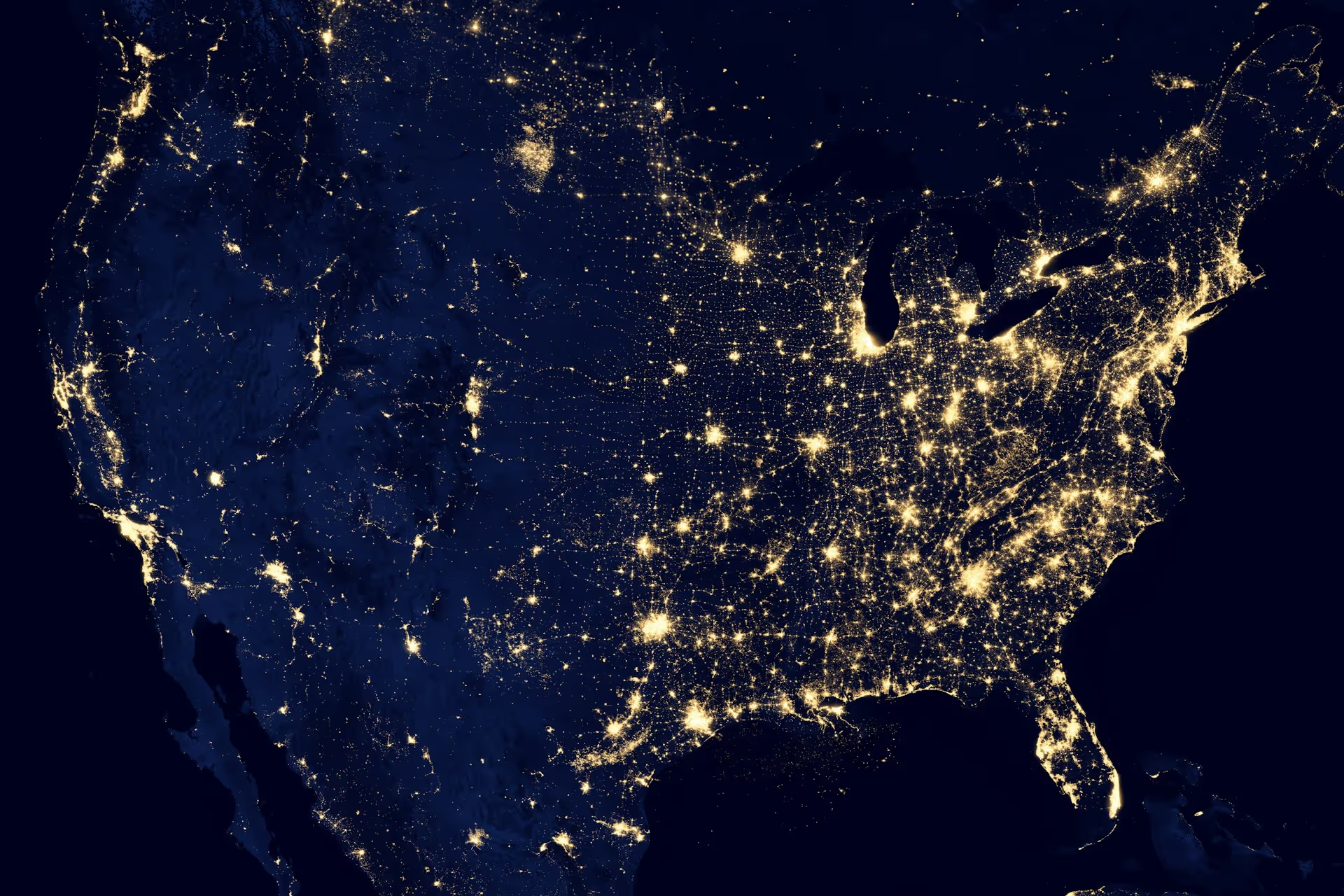
This session begins with a lecture on why High-Performance Computing (HPC) is not just a convenience but a structural requirement for building foundation models that generalize across geographies, sensors, and downstream tasks. Training deep learning models on planetary-scale Earth observation data demands massively parallel processing, fast interconnects, and large-scale storage that turn months of computation into days.
The session then introduces TerraMind, a generative multimodal foundation model for EO developed in the ESA-funded FAST-EO project. TerraMind introduces the concept of Thinking in Modalities, enabling coherent reasoning across heterogeneous data sources, and achieves state-of-the-art results on established community benchmarks. Using the TerraTorch toolkit, participants will use their generative capabilities and fine-tune TerraMind for a real-world downstream task in an interactive, hands-on session.
Finally, the session covers how the emergence of Geospatial FMs has shifted remote sensing analysis from imagery to embeddings, learned representations of EO data. These present a low barrier to EO analysis, providing features that can be used across various downstream tasks. In an interactive hands-on session, participants will learn how to deploy them for crop yield prediction, benchmarking embeddings against state-of-the-art methods.
Agenda
Block 1: Introduction
- Is High-Performance Computing (HPC) Needed? Training deep learning models on planetary-scale Earth observation data
Blocks 2 and 3: TerraMind on downstream tasks
- Hands-on TerraMind: multimodal outputs and fine-tuning for a real-world downstream task with TerraTorch
Block 4: Embeddings for crop yield prediction
- Hands-on: retrieving embeddings, generating them from satellite imagery, and deploying them for crop yield prediction
Instructors

Rocco Sedona
Biography
Rocco Sedona (Member, IEEE) received the B.Sc. and M.Sc. degrees in information engineering from the University of Trento, Trento, Italy, in 2016 and 2019, respectively, and the Ph.D. degree in computational engineering from the University of Iceland, Reykjavik, Iceland, in 2023. He is the deputy head of the “AI and ML for Remote Sensing” Simulation and Data Lab, JSC, Germany. His research interests primarily lie in the field of deep learning and its application to remote sensing data. He has extensively utilized optical satellite data acquired by Landsat (NASA) and Sentinel (ESA) missions toward near real-time land-cover classification. In addition, he specializes in distributed deep learning on high-performance computing systems, an area of study that he has been actively engaged in since 2019.

Benedikt Blumenstiel
Biography
Benedikt is an AI researcher at the IBM Research Lab in Zurich. As part of the AI for Climate Impact team, he focuses on advancing foundation models for Earth observation and has contributed to several state-of-the-art models, including Prithvi, TerraMind, and others.
Kennedy Adriko
Biography
Kennedy Adriko is a member of the “AI and ML for Remote Sensing” Simulation and Data Lab at the Jülich Supercomputing Centre, Forschungszentrum Jülich, Germany. His research focuses on EO Foundation Models, efficient and scalable AI compression, and data fusion techniques for Earth Observation applications. He is currently working towards a Ph.D. in Computer and Electrical Engineering at the University of Iceland, Reykjavik, Iceland.